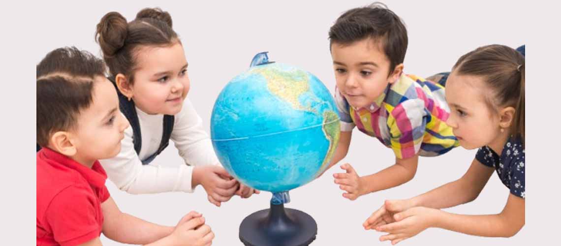
Have you ever thought how we do know where countries, oceans and mountains are, without ever going there? Marvel, that is what maps and globes do! These are the most interesting learning material among children as they can discover the whole world with the help of their classrooms or homes. In the case of children, maps and globes are an interesting place to start off into the world of geography knowing about continents, oceans, directions, and the appearance of our planet.
Let’s take a simple, fun journey together to help your child understand the world around them, one map and one globe at a time!
1. What Is a Map?
The map is a two-dimensional drawing of the earth or a particular region, with cities, nations, hills and rivers and roads. It is the same as a big picture of the earth when it is unfolded on a piece of paper making all things visible at once.Key Features of a Map:
- Scale: Shows how distances on the map relate to real-life distances.
- Symbols: Tiny pictures represent landmarks (trees for forests, blue lines for rivers).
- Compass Rose: Shows directions such as North, South, East, and West.
Maps make it easier for children to understand geography for kids by letting them explore regions and cultures visually.
2. What Is a Globe?
A globe is a mini model of the Earth, round, just like our planet! It presents continents, nations, oceans and the poles in the right perspective. When children turn a globe, they are able to observe the way the Earth rotates and the location of every place in the real world.Why Globes Are Special:
- They show true shapes and sizes of continents and oceans.
- Help understand Earth’s tilt and rotation.
- Show that Earth is three-dimensional (3D), not flat.
3. Difference Between Maps and Globes
Let’s help your chQild visualize the difference between maps and globes easily:Feature | Map | Globe |
Shape | Flat and easy to carry | Round, like the Earth |
Detail | Shows part or whole of Earth | Shows entire Earth |
Usage | Ideal for specific regions | Great for whole planet |
Portability | Foldable and handy | Not easy to carry |
Example | World map, city map | Classroom globe |
Tip: A map is like reading a page; a globe is like holding the whole world!
4. Types of Maps
There is an abundance of different types of maps; each map is intended to serve a given purpose. Introduce these to make world maps for children more exciting and meaningful:
- Political Map – Shows countries, states, and cities.
- Physical Map – Shows mountains, rivers, and landforms.
- Climate Map – Displays temperature and rainfall.
- Road Map – Used for travel routes.
- Thematic Map – Focuses on one topic (like crops or languages).
5. Why Learning Maps and Globes Matters
Children who understand maps and globes develop a better sense of direction, distance, and place. It improves:- Spatial awareness.
- Curiosity about the world.
- Observation and analytical skills.
- Understanding of global connections.
6. Fun Learning Activities with Maps and Globes
Children love learning when it feels like play! Try these kids learning activities to make geography come alive:- “Find It Fast” Game – Ask your child to locate countries or oceans.
- Treasure Hunt Map – Create a map of your home or garden.
- Spin and Learn – Spin the globe and identify random countries.
- Make Your Own Map – Let kids draw maps of their room or city.
7. How Maps and Globes Help in Education
Maps and globes teach essential skills:- Observation and analysis.
- Logical reasoning and direction sense.
- Pattern recognition.
These tools enhance student learning strategies and study habits for students by building visual understanding.
8. Integrating Maps and Globes in Everyday Learning
You can make maps and globes part of education at home by:- Using a wall world map to mark places you read about.
- Tracking family trips and dream destinations.
- Relating school lessons to real map locations.
- Encouraging curiosity about current events using maps.
9. Quick Recap
Concept | Key Takeaway |
Map | Flat drawing showing parts of Earth |
Globe | 3D model of Earth |
Maps vs Globes | Maps are portable; globes show true shapes |
Types of Maps | Political, Physical, Climate, Road, Thematic |
Fun Activities | Find It Fast, Treasure Hunt, Spin and Learn |
Learning Value | Builds curiosity, observation, and awareness |
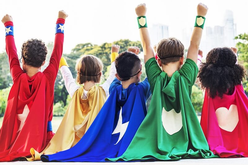
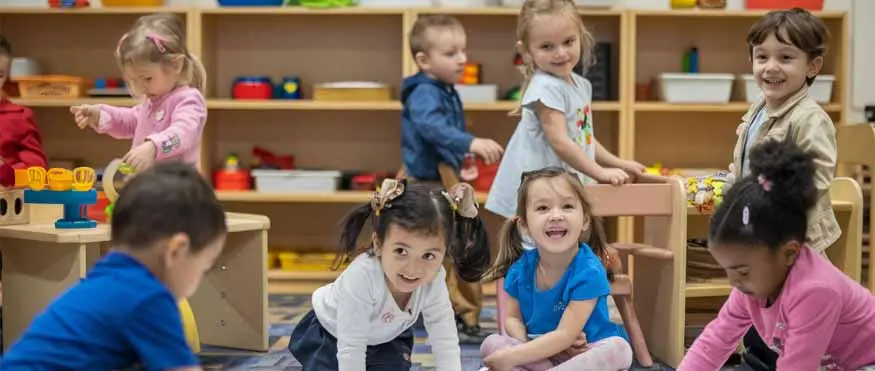
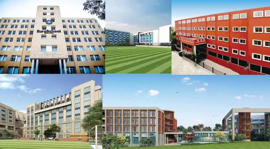
10. How EuroSchool Encourages Curiosity and Learning
At EuroSchool we are of the opinion that learning must be interactive and exploratory. We have maps, globes and visual aids in our classes to make geography interesting and significant.By using activity-based lessons, storytelling and STEM based geography, children are able to bring classroom learning to real world exploration.
Curiosity, creativity, and discovery are also promoted, and the future explorers who are fond of learning about their planet are raised.
Conclusion
Maps and globes don’t just teach geography, they teach perspective. They make children realize how magnificent the world can be, but how beautiful everything can be linked together.Then, when your child is spinning a globe or following a map, he is not only learning to follow directions but also to explore, ask questions and imagine.
👉 Visit EuroSchool to see how we make learning about the world exciting through visual tools, engaging geography lessons, and interactive classroom experiences!